C-MAP and Navionics Nautical Charts – Official distributor | Meridianprojekt
Find the right nautical charts for your vessel at Meridianprojekt — official distributor of both C-MAP and Navionics chart solutions for recreational and professional mariners.
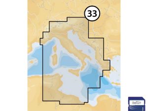
Whether you navigate coastal waters, offshore routes or inland waterways, our chart range covers the Adriatic, Mediterranean and broader European waters with the detail and accuracy needed for safe and confident navigation.
C-MAP and Navionics charts are fully compatible with Lowrance, Simrad and B&G multifunction displays, offering seamless integration with your existing onboard navigation system.
Why buy from Meridianprojekt
Official C-MAP and Navionics distributor
Expert advice on chart selection and compatibility
Fast EU-wide delivery
Full update support
Not sure which charts are right for your display and cruising area?
Contact us with your chartplotter model and region.